Scientists Reveal Differences of Cloud Top Height between Satellites and Ground-based Radar
Date:2021-04-15
Clouds play a key role in balancing incoming and outgoing solar and thermal radiation. This is a critical process in the earth-atmosphere system. Monitoring cloud height, particle size, particle concentration, etc. are integral to understanding climate dynamics and global climate change. These physical attributes determine the radiative forcing effect of a cloud, or how much incoming radiation that a cloud reflects back to space. Satellites and ground-based radar can measure the cloud top height (CTH). However, inconsistencies exist between various satellites and radar data due to different detection methods and algorithms used to process raw information.
To quantify these conflicts, LIU Bo, jointly supervised by Dr. HUO Juan and Prof. LYU Daren from the Institute of Atmospheric Physics at the Chinese Academy of Sciences, compared CTH data between the FY-4A and Himawari-8 satellites as well as data from ground-based millimeter-wave radar sites in Yangbajing, Tibet (YBJ) and in Beijing. Known as the "Roof of the World", the Tibet Plateau provides an ideal location for satellite meteorologists to study. The vast region features high elevation, ideal atmospheric conditions to observe CTH, and sparse weather reporting stations, which is optimal for testing large quantities of satellite data. China's meteorological satellite FY-4A and Japan's Himawari-8 satellite are geostationary satellites both equipped with an advanced radiation imager, which provides a wealth of CTH data.
Results from high-level cloud analysis suggests that the observed CTH difference between radar and satellite data increases gradually with an increase of surface temperature. This indicates that surface temperature, which affects satellite data retrieval accuracy, may be a key factor causing the regional discrepancy between Beijing and YBJ, which is 4300m above sea level. The average CTH differences, measured in kilometers, between radar and satellite data at YBJ were 0.06 km and -0.02 km, compared to 0.93 km and 0.99 km at Beijing, for FY-4A and Himawari-8, respectively. Thin high-level cirrus clouds show the most CTH variation.
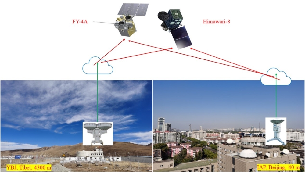
Schematic diagram of CTH detection by satellites (FY-4A and Himawari-8) and ground-based radar sites (from YBJ and Beijing, respectively). (Image by LIU Bo)
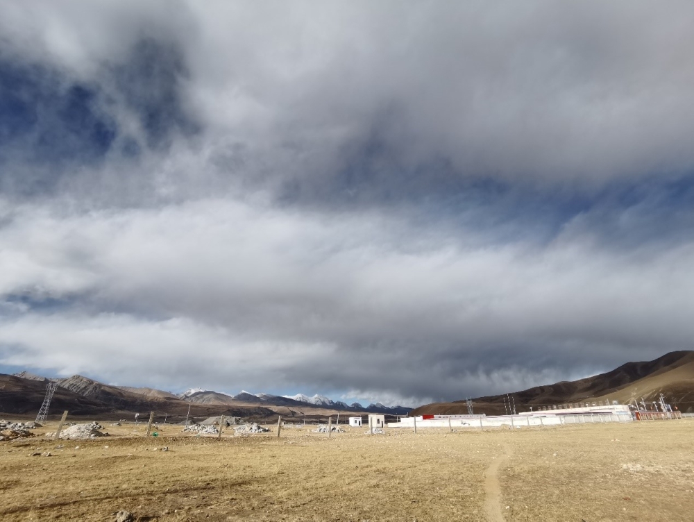
Clouds observed at YBJ with snow-capped mountains in the distance. (Image by LIU Bo)
Additionally, at YBJ, the study showed that Himawari-8 missed more nighttime CTH data than FY-4A. That said, statistical results show little difference between FY-4A and Himawari-8 data, although both satellites have different retrieval algorithms. This study presents an initial quantitative comparison of CTH between satellite and ground-based radar over the Tibet Plateau and provides a scientific guidance for application of CTH data.
This work is published online in Advances in Atmospheric Sciences. The National Natural Science Foundation of China funded the study (Grant Nos. 41775032 and 41275040). The Ka radar at YBJ used in this work belongs to the APSOS system, which is also funded by the NSFC.
Citation: LIU, B., J. Huo, D. R. Lyu, and X. Wang, 2021: Assessment of FY-4A and Himawari-8 Cloud Top Height Retrieval through Comparison with Ground-Based Millimeter Radar at Sites in Tibet and Beijing. Adv. Atmos. Sci., https://doi.org/10.1007/s00376-021-0337-2.
Media contact: Ms. LIN Zheng, jennylin@mail.iap.ac.cn