Scientists Crack Ocean's Code for Predicting China's Persistent Summer Rains
Date:2025-04-17
Extreme rainfall events can cause devastating floods, landslides, and widespread damage, yet predicting them remains a major challenge. While scientists often study how often and how intensely it rains, the duration of rainfall is just as critical in assessing its impact. However, research on long-lasting extreme rainfall has been limited—until now.
A team of climate scientists has made a significant discovery: global ocean patterns can serve as early warning signals for extreme summer rainfall in China. Their study, published in Advances in Atmospheric Sciences, identifies how six major oceanic modes influence Summer Extreme Persistent Precipitation (SEPP)—prolonged heavy rainfall that can lead to severe flooding.

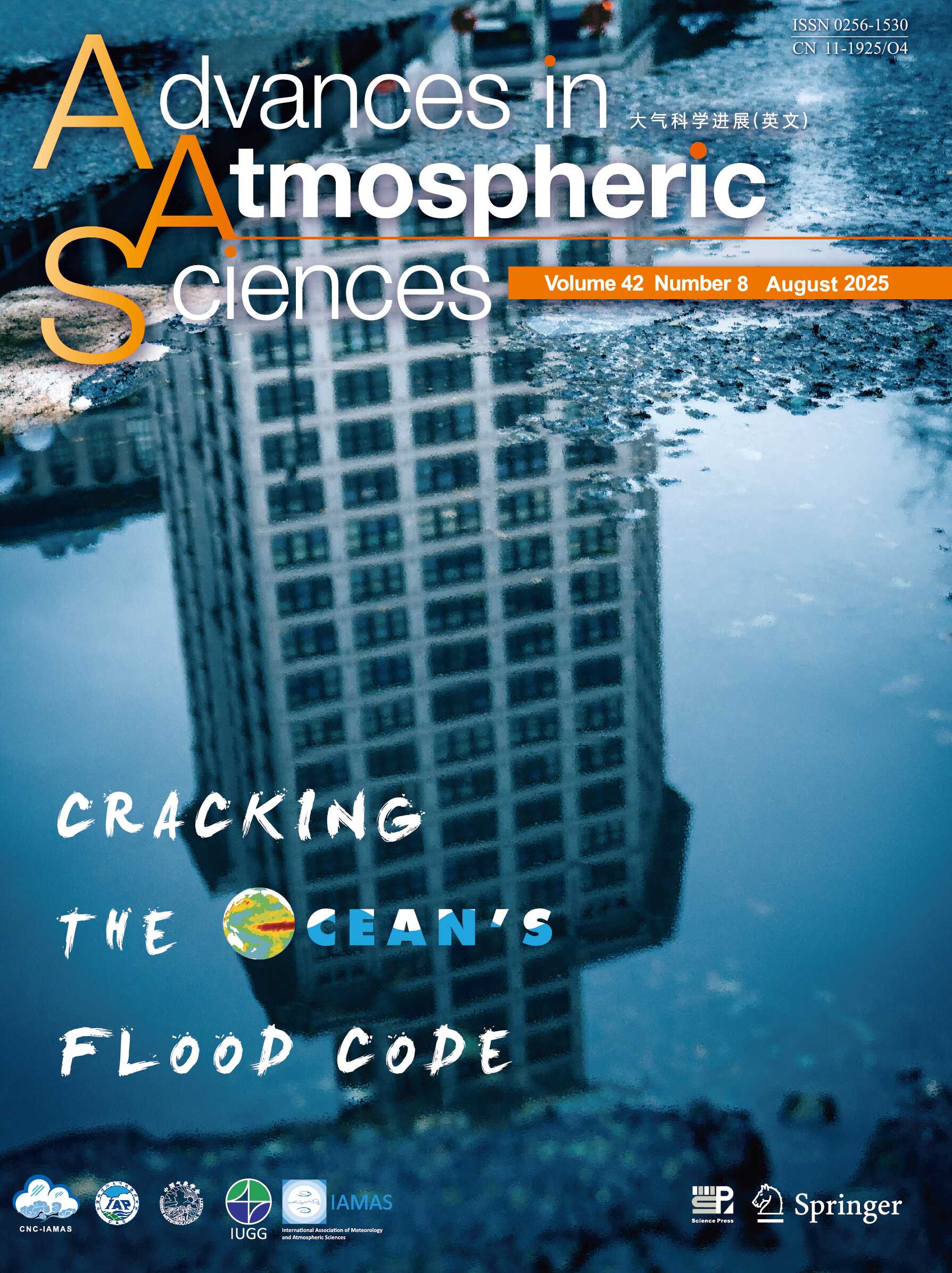
The study is featured on the cover of Advances in Atmospheric Sciences.
Using data from 1961 to 2020, the researchers analyzed rainfall duration, total precipitation, and daily intensity to understand SEPP patterns. They then linked these trends to global oceanic conditions using advanced statistical modeling and climate simulations.
"This is like finding hidden messages in our oceans," said lead author Liu Xiaoyu of Guangdong Ocean University. "Winter sea temperatures in the tropical Pacific, for example, give us clear signals about summer flood potential."
Their critical findings include: Winter ocean temperatures predict summer rainfall persistence with 75% accuracy; Combined Pacific and Indian Ocean patterns account for 85% of prolonged event duration; and new models can forecast rainfall persistence 6-8 months in advance.
But how exactly do oceans drive extreme rainfall?
The key lies in moisture transport. In the case of China’s summer, warmer ocean surfaces pump more water vapor into the atmosphere, which is then carried over China by wind patterns.
"Our experiments showed that warming in the Pacific and Indian Oceans—especially in winter and summer—intensifies rainfall over China," explained Dr. Zhang Yu, the study’s corresponding author. "The subtropical high and monsoon winds act like a conveyor belt, pulling in moisture from the western Pacific and Indian Ocean, while stronger upward air motion fuels heavier downpours."
The team’s findings are being incorporated into China’s national flood warning system, with pilot testing beginning in the 2025 rainy season.
While this research marks a major step forward, challenges remain. Dr. He Bian, another corresponding author from the Institute of Atmospheric Physics at the Chinese Academy of Sciences, noted: "Current models can’t fully predict ocean-rainfall interactions beyond one year, and some complex relationships are still missing. Our next step is to use more advanced climate models to refine these forecasts."
