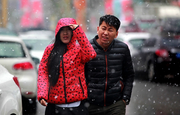
Citizens walk in the snow in Changchun, capital of Jilin province, on Oct 30, 2016. The city will experience a sharp drop in temperature in the next few days after its first snow this winter, according to the city's meteorological department. [Photo by Wang Zhendong/For China Daily]
Get ready for the coldest winter since 2012.
Most of China-but especially the northeast and northwest-is expected to feel a big chill this winter, thanks to a climate pattern in the Pacific Ocean called La Nina, meteorologists said on Monday.
"Affected by a growing La Nina, the country's average temperature this winter is forecast to be 0.5 degree (Celsius) lower than average," said Zheng Fei, a researcher at the Institute of Atmospheric Physics of Chinese Academy of Sciences.
While that may not sound like much, it means China will be in for some very chilly days.
"The northeastern and northwestern regions will be hit harder, with the temperature dropping much more," he said.
La Nina is a periodic cooling of the surface of the equatorial Pacific Ocean, which causes abnormal weather patterns.
In August, the temperature of the central Pacific was cooler than average by 0.53 C, marking the start of La Nina, said the National Climate Center of China Meteorological Administration.
"Based on the records, it means the winter has larger possibilities to be colder," said Ding Yihui, academician of the Chinese Academy of Engineering.
In January 2008, a strong La Nina hit, bringing blizzard and snowstorm to 21 provinces, and caused 107 deaths.
But the La Nina this year is not expected to be as strong as the one in 2008, Zheng said, though it will add more uncertainty to forecasts. "The precipitation in winter is hard to forecast now," Zheng said.
Another factor is expected to contribute to the cold, and Beijing residents felt its chilly calling card on Monday.
Researchers said a stronger-than-normal air mass from the Arctic on Monday was to blame, and it won't be the last time it occurs this season.
"The current low temperature that residents in Beijing experienced is abnormal, much colder than the average level, which is closely related to the air mass from the Arctic," said Ding, the academician.
"The air mass from Arctic has grown stronger in recent years, bringing a larger influence to the winter in China," Ding said.
Zheng said the temperature would be even lower in January and February due to the larger influence from the air mass. (China.org.cn)
